MPAs in our Area
We have recently commissioned a set of summary infographics for each of the 11 inshore Marine Protected Areas along the Berwickshire and Northumberland coast. These are designed to be a short encapsulation of the main details of each site.
The infographics can reached through the toolkit section of our website or by following this link.
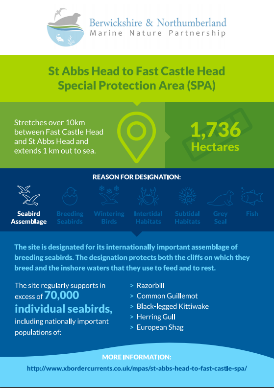
Photo credit: Iain Robson/Northumberland Coast AONB
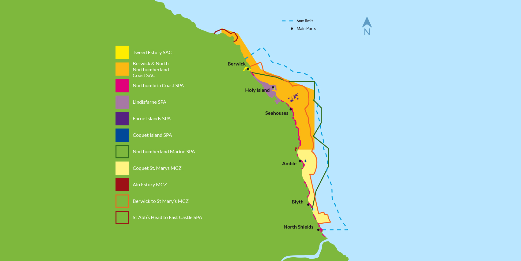
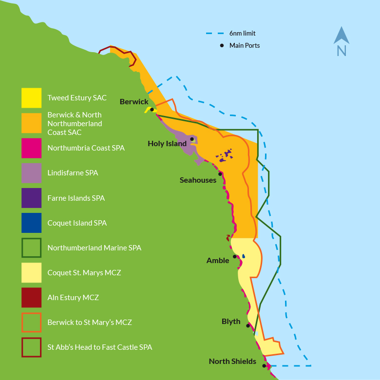
The creation of a new Marine Conservation Zone (MCZ) off the Northumberland coast was announced by the Government on the 31st May. The Berwick to St Mary’s MCZ is one of 41 new MCZs and brings the number of inshore marine protected areas along the Berwickshire and Northumberland coast to 11.
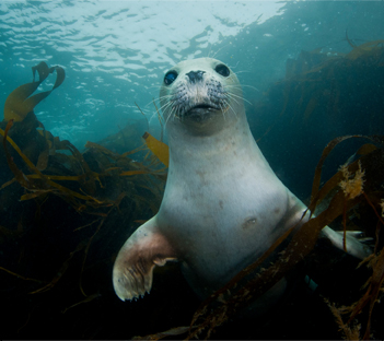
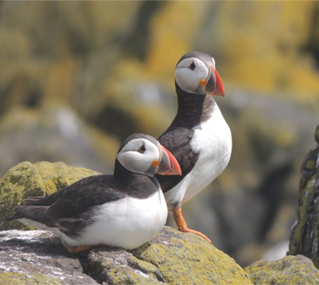
The site has been designated in recognition of its nationally important numbers of eider duck. The eider is a species of sea duck which feeds on marine molluscs. It can be found on the inshore waters of the Northumberland coast throughout the year. The Farne Islands and Coquet Island are important local breeding sites for the bird.
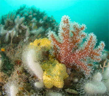
The site stretches from Berwick-upon-Tweed in the north to St Mary’s Island in the south and covers an area of 634 km2. The southern part of the site overlaps with the similarly named Coquet to St Mary’s MCZ which was designated in 2016 for a range of tidal and subtidal habitats.
Please follow the links below for:
Natural England has a responsibility to provide Conservation Advice for all Marine Protected Areas (MPAs) within England’s inshore waters (out to 12 nautical miles) to support sites to achieve their conservation objectives and to guide effective management. A range of supplementary material is now available online to to aid users navigate and understand Marine Conservation Advice. Resources available include guidance videos, FAQs, an interactive map, glossary and supporting material.
The supporting material can be accessed at this link
We work regularly with our partners to develop individual projects to address specific issues or management needs on marine protected areas.
Take a look at our most recent project or view all of our projects.